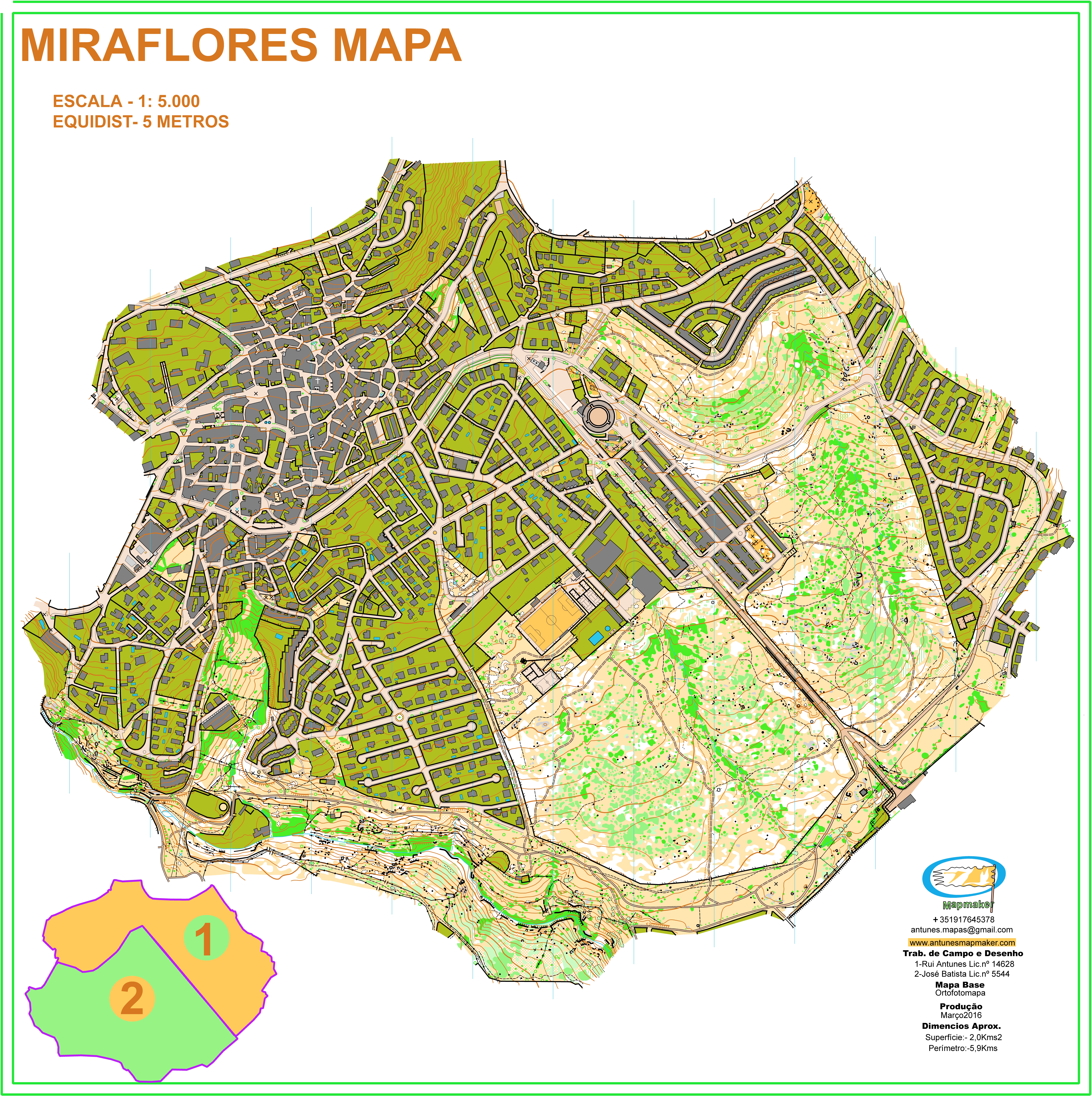
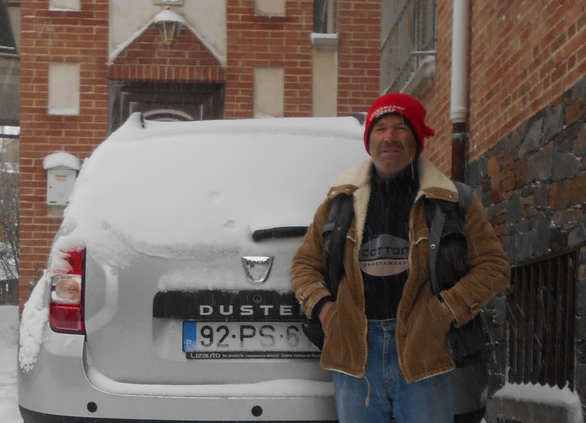
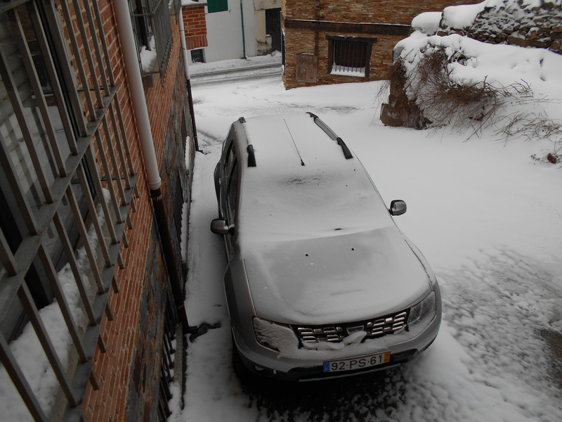
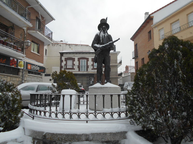
Semi-urban map with about 2.0kms2, was prepared by me and another cartographer in March 2016 during the most difficult days to climb the mountain to make the map of Canencia. This map has very specific characteristics, not only for its reasonable mapped area, but also for its variety of elements and also for its sharp unevenness since Miraflores is encrusted on a slope at about 1,100 meters of altitude.
