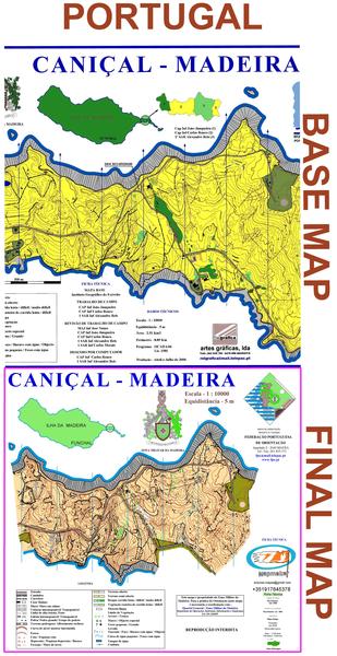
(102) - Caniçal-Madeira/Portugal - Jan2009.
This map was part of a project of the Montain Club of Funchal. The purpose was to be used in the International Event (Madeira Orienteering Festival) this year 2009 with the presence of World Champion ´´Thierry Georgiou´´. I went to Madeira to make two new maps (Caniçal and Bica da Cana) and review another (Poiso). To make this map, I used as a base map oldest map produced in 2000. Mainly in this type of terrain, it would have been more useful to an aerial photo. Despite being an open field, is also fairly technical and can easily make a mistake that may be unrecuverable. It is a very good map to train the reading technique of relief.
« Back
